An Underexplored, Belt-Scale Gold Asset
MT VENN PROJECT OVERVIEW
- PROJECT AREA 420km2
- MINERALISED CORRIDOR 35km
- LOCATION 40km W of Gruyere Gold Mine

Project Introduction
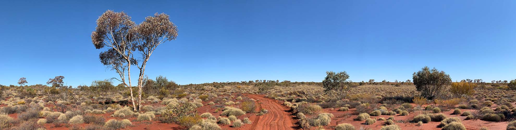
The Mt Venn Gold Project has many similarities to the nearby Cosmo Gold Project and the company views it as an underexplored, belt-scale opportunity. The project spans 420km2 and covers a large portion of the Jutson Rocks Greenstone Belt, a large and prospective system with gold discovered in the 1890s.
Drilling has returned multiple intersections of wide gold mineralisation contained within a 35km-long gold corridor. Geochemical surveys have delineated numerous kilometre-scale gold-in-soil anomalies that are coincident with the litho-structural corridor that present high-priority targets for future exploration.
The project is located approximately 40km west of Gold Road’s 8Moz Gruyere Gold Mine, 20km west of Gold Road’s 1Moz Golden Highway Project and 40km east of Sarama’s Cosmo Gold Project.
Project Highlights
Project covers a significant part of the Mt Venn greenstone belt, it has a good lithological and structural setting, including a regional shear zone approximately 50 km long and 1 to 3 km wide, extending full length of the greenstone belt.
Late-stage intermediate intrusions are located in close proximity to the belt-scale shear corridor and the belt hosts mafic to intermediate volcanic rocks (bimodal volcanism) similar to the Dorothy Hills greenstone belt which hosts the +8Moz Gruyere gold deposit.
An iron formation is present in the western side of the belt and there is evidence of high-magnetic units, possibly ultramafic lenses, some residing along the structural corridor and may have focused shear displacement.
Tenure is contiguous over 420 km2 and covers a large portion of greenstone belt.
Gold was discovered in the 1890s highlighting its potential, but the area has remained underexplored for decades.
A lot of exploration potential remains in the belt with historical exploration work delineating a 35km anomalous gold trend coincident with a major regional structure and favourable lithologies.
Gold intercepts in drilling at Three Bears Prospect on Mt Venn project extend over 4 km trend to maximum 8.5 g/t gold.
Situated 40 km west of Gold Road’s 8 Moz, +300,000 oz/yr Gruyere gold mine, 20 km west of Gold Road’s 1 Moz Golden Highway deposit and 40 km east of the company’s Cosmo gold project.
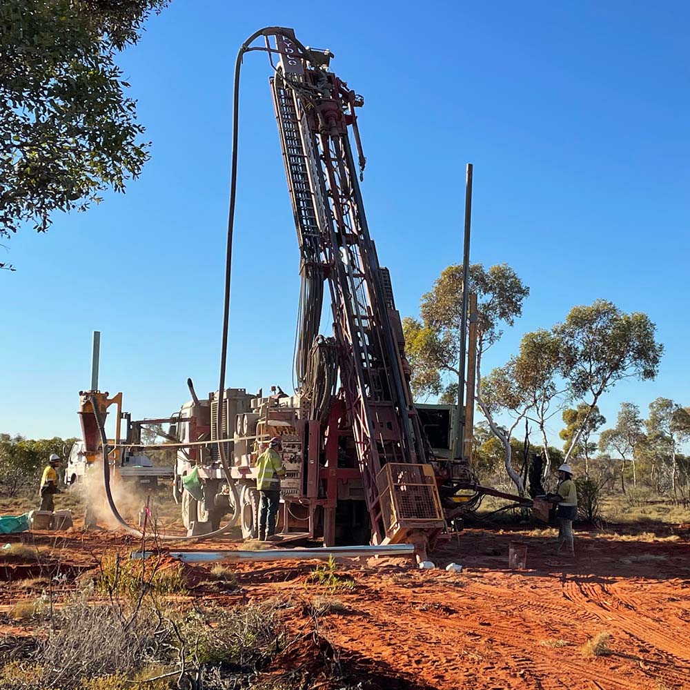
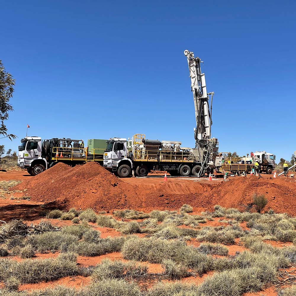
Exploration
The Mt Venn Project covers a significant part of the Jutson Rocks Greenstone Belt. It encompasses a promising lithological and structural setting, including a regional shear corridor approximately 50km long and 1 to 3km wide, extending the full length of the greenstone belt.
Late-stage intermediate intrusions are located in close proximity to the belt-scale shear corridor and the belt hosts mafic to intermediate volcanic rocks (bimodal volcanism) similar to the Dorothy Hills Greenstone Belt which hosts the +8Moz Gruyere Gold Deposit.
Gold was discovered in the 1890s highlighting its potential, but the area has remained underexplored for decades and significant exploration potential remains. Historical exploration work delineated a 35km-long anomalous gold trend coincident with a major regional structure and favourable lithologies. Drilling over a 4km-long trend at the Three Bears Prospect returned wide gold intersections with apparent targets open in all directions.
Drilling at the Rutter’s Soak Prospect, in the southern part of the project area, has encountered zinc-gold mineralisation and drilling at the Mt Cummings Prospect, in the northern part of the project area, has discovered nickel-copper mineralisation.
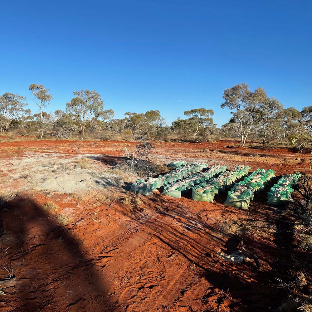
The Company intends to take a systematic approach to exploration starting with historic data review, ground truthing historic data sets and ramping up field work across potential target areas to focus in on zones of interest to generate high-quality drill targets.
